


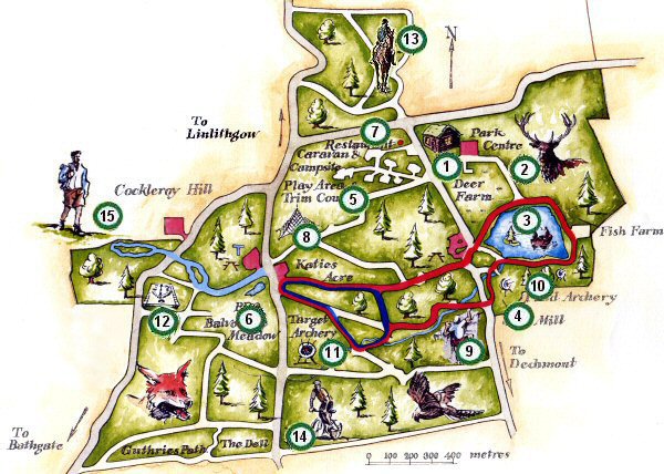
Country Park map.
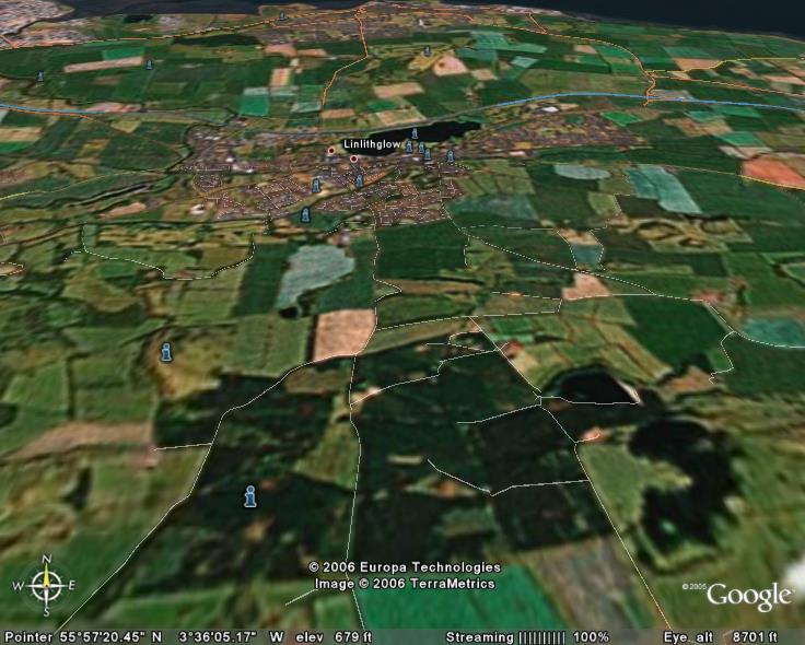
Beecraigs on Google Earth - with Linlithgow, its loch, the M9, Bo'ness and the Forth Estuary in the background.
It's been a few years since I last ran at Beecraigs - a Country Park near Linlithgow, in part because the area was subject to storm damage but also because of the demise of the local club - it's good to see them back!
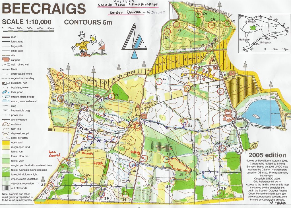
The M45's had 50 minutes to get as many of the 28 controls as possible. As usual, I set out to get them all - which, with the benfit of hindsight, was a mistake! I got 19 and incurred penalties for being 3 minutes late. Was scrappy at 13, 27 and 28; and gave up trying to get to 17 from the south, where the slow run was impenetrable!
There was some confusion over road crossings. Apparently, I should have visited control 13 twice - on the way into and out of the area with controls 21, 33 and 34. And I shouldn't have run along the road between 13 and 15 as I did. Crosses on the road might have provided clarity - but it's always easy to be wise after the event!
Despite these hicups, I enjoyed the area and the event, and also the tea room in Linlithgow which was frequented by a good number of orienteers.
Controls visited.
Results.
Splits.
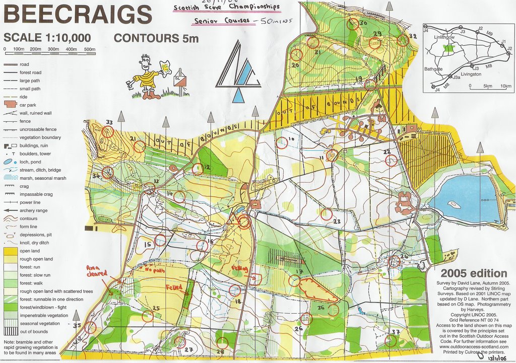
Map with my course.
Map with my route.






No comments:
Post a Comment